Mapping Possibilities.
Defining Precision.
Transforming complex spatial data into accurate, actionable insights that power critical decisions across the region.
19+
Experience
47
Counties
400+
Projects
Expertise
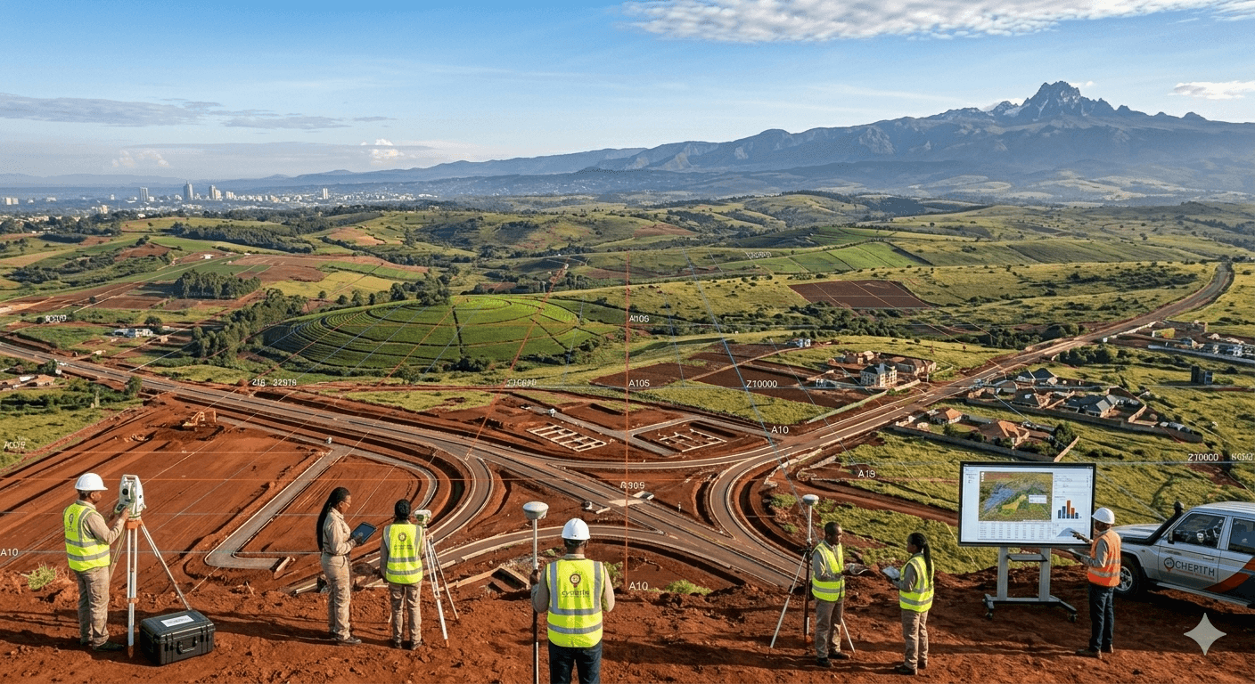
Transforming Land Data Into Powerful Insights
Cherith GeoSystems is a premier geospatial and land surveying firm delivering precision-driven solutions in cadastral surveying, engineering surveys, GIS, and remote sensing.
With over 19 years of operational excellence, we partner with governments, developers, and financial institutions to deliver reliable, data-driven results that mitigate risks in property and infrastructure development.
- geospatial intelligence partners
- Converting physical land to digital intelligence
- Reducing risk in property & infrastructure projects
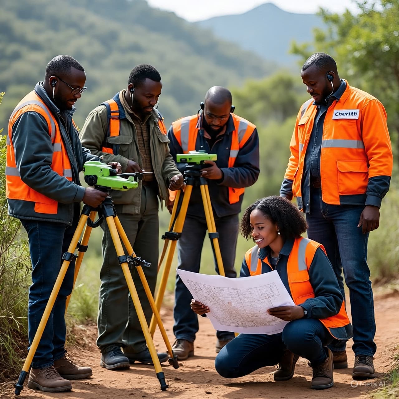
Our Mapping Solutions
We offer a full suite of professional surveying and geospatial services designed to mitigate risks and support intelligent property planning.
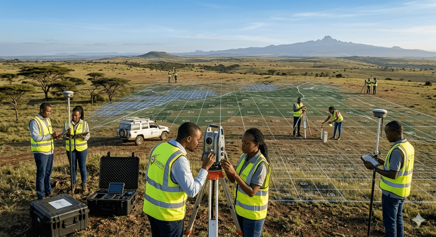
Land & Cadastral Surveys
Accurate boundary identification, subdivision, and land verification services you can trust.
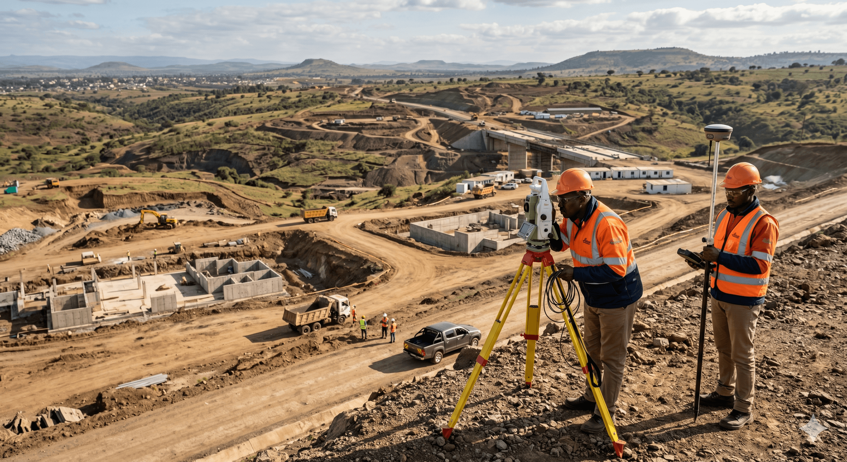
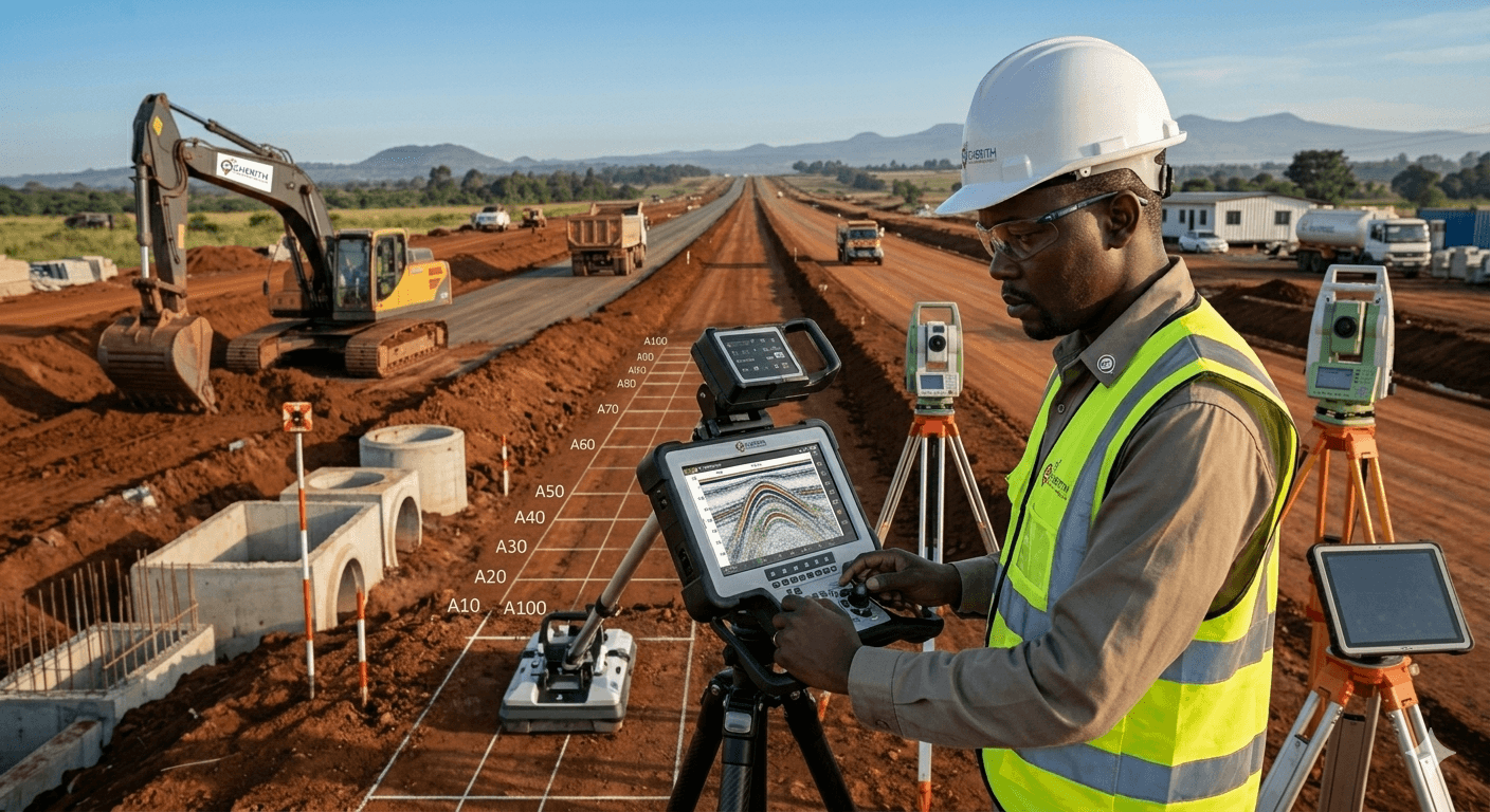
Engineering & Topo Surveys
Precise mapping and site data for construction and infrastructure development.
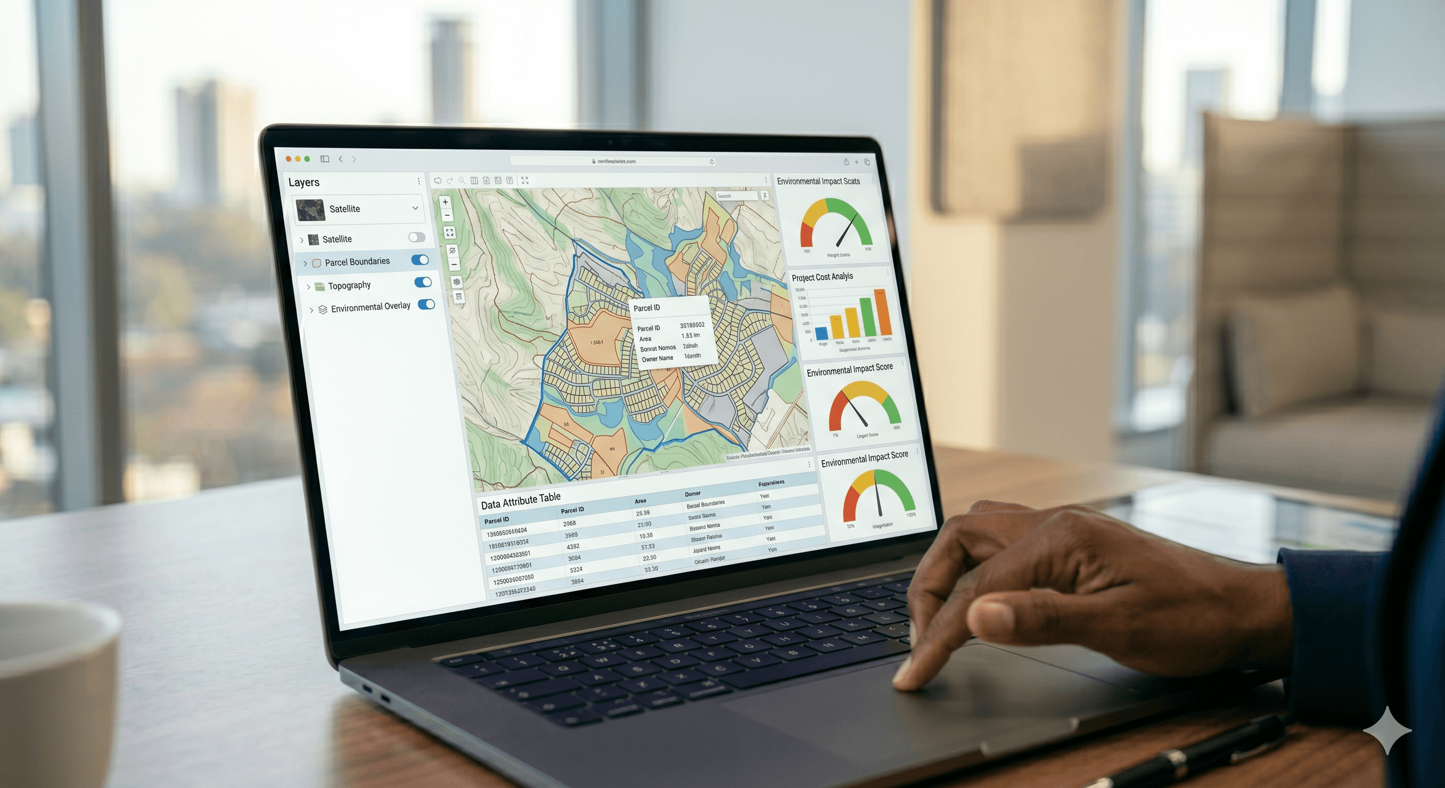
GIS & Spatial Analysis
Transforming geospatial data into powerful decision-support tools for planning.
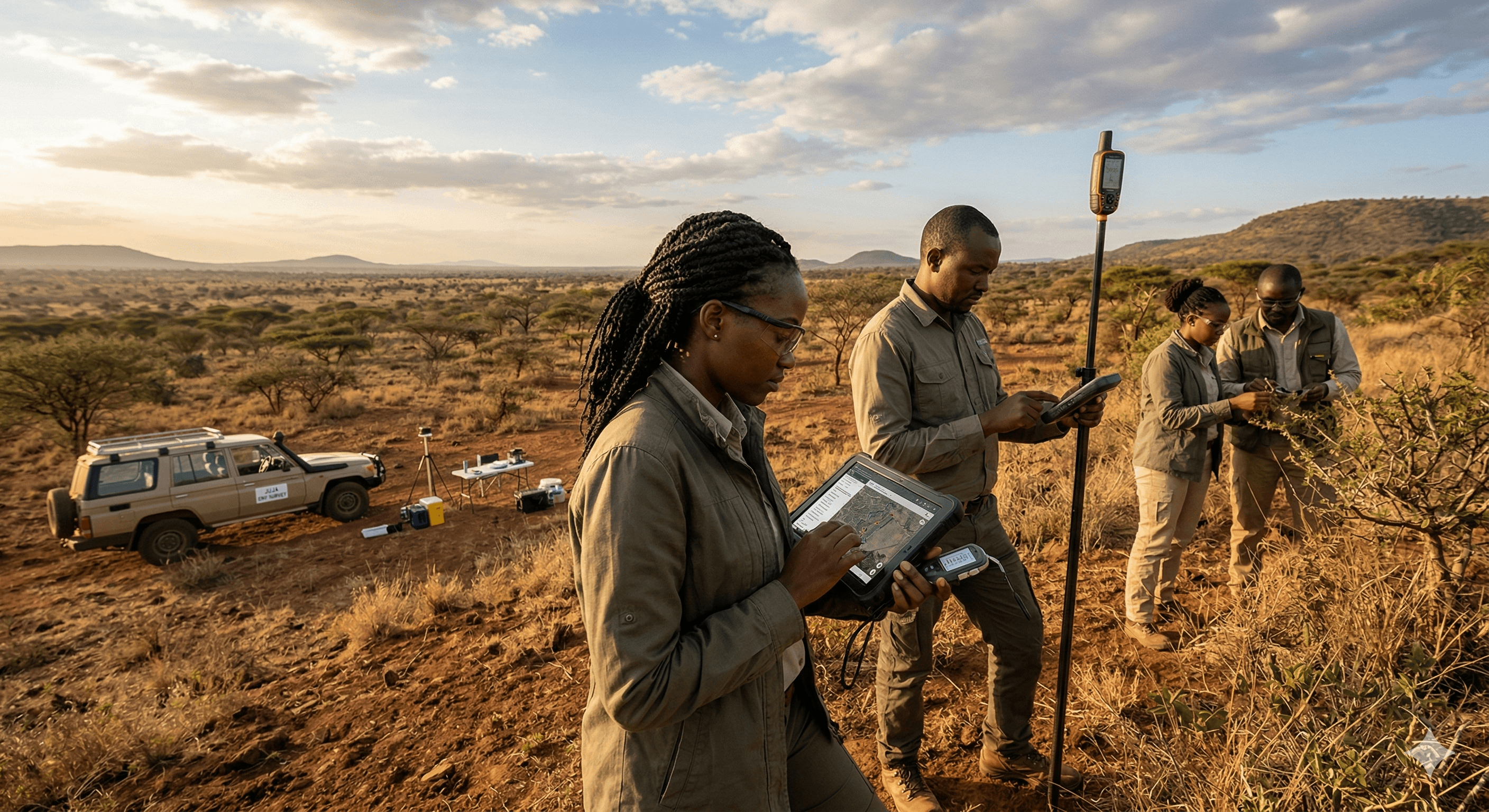
Remote Sensing & Env. Monitoring
Advanced satellite and drone-based environmental insights for large-scale management.

Underground Utility Mapping
Locate hidden infrastructure safely and accurately using Ground Penetrating Radar (GPR).

Geoportal & Web GIS Dev
Custom digital mapping platforms for real-time geospatial access and visualization.
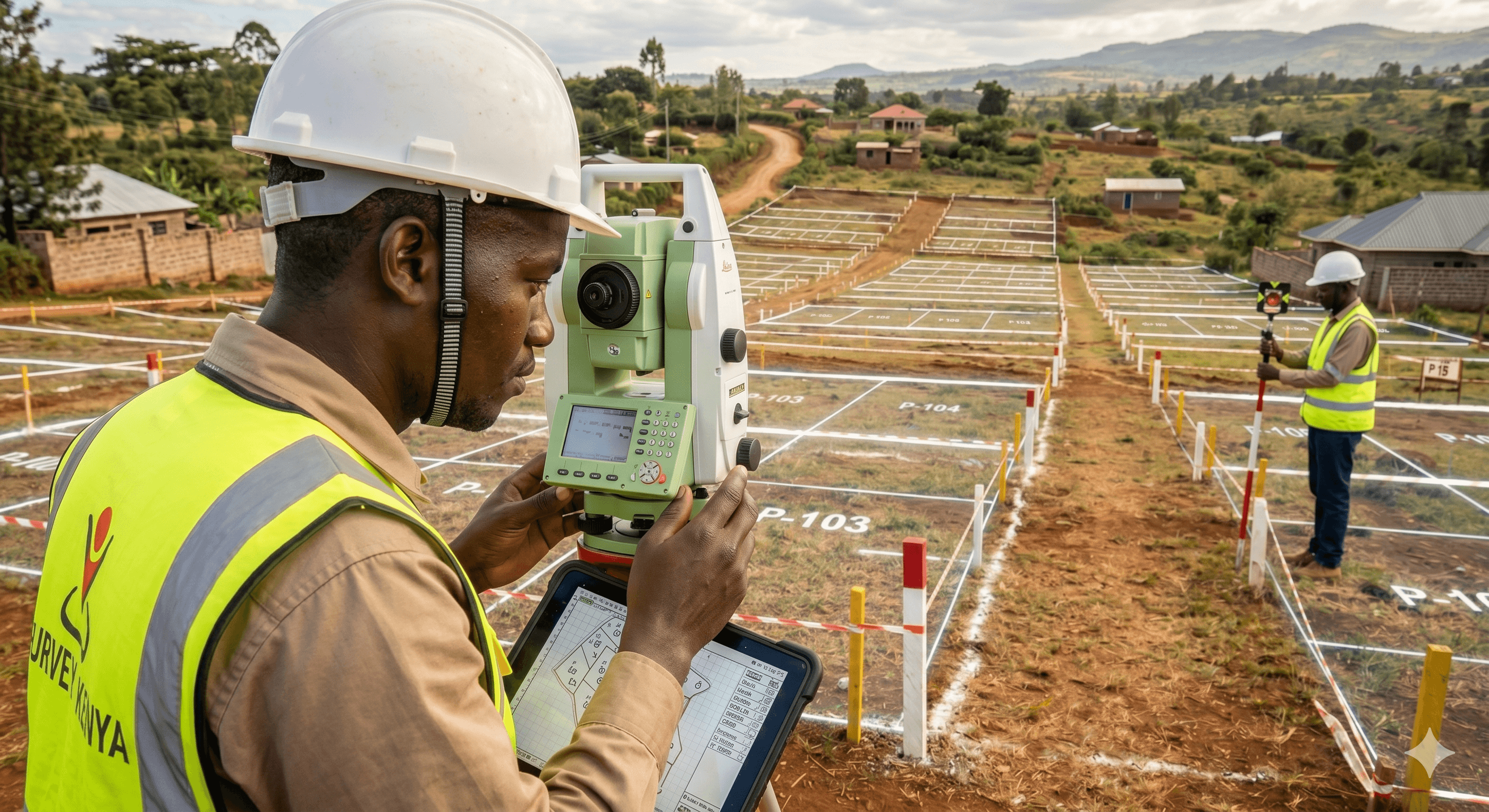
Proven Expertise
Over 19 years of delivering high-quality geospatial solutions across East Africa.
Advanced Technology
We utilize industry-leading tools including RTK GPS, Total Stations, and GIS platforms.
Trusted Partners
We’ve worked with organizations such as UN agencies, IGAD, and leading private sector clients.
Nationwide Coverage
Serving clients across all 47 counties in Kenya with rapid deployment.
Featured Projects
Our portfolio reflects our commitment to precision, reliability, and excellence across a wide range of geospatial projects nationwide.
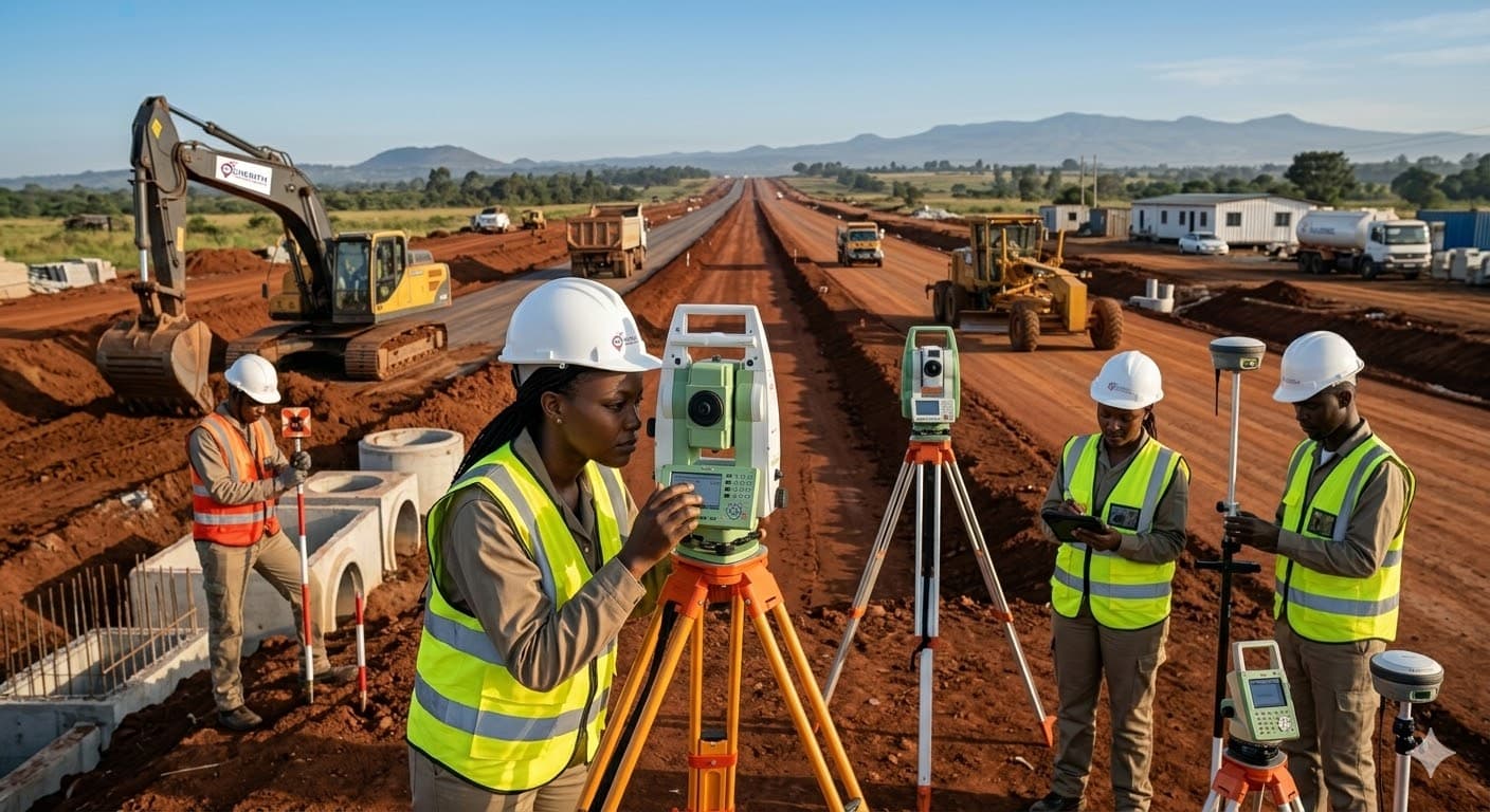
Topographical Survey
JKIA Airport, Nairobi

GIS Support Operations
UNHCR Regional Hub
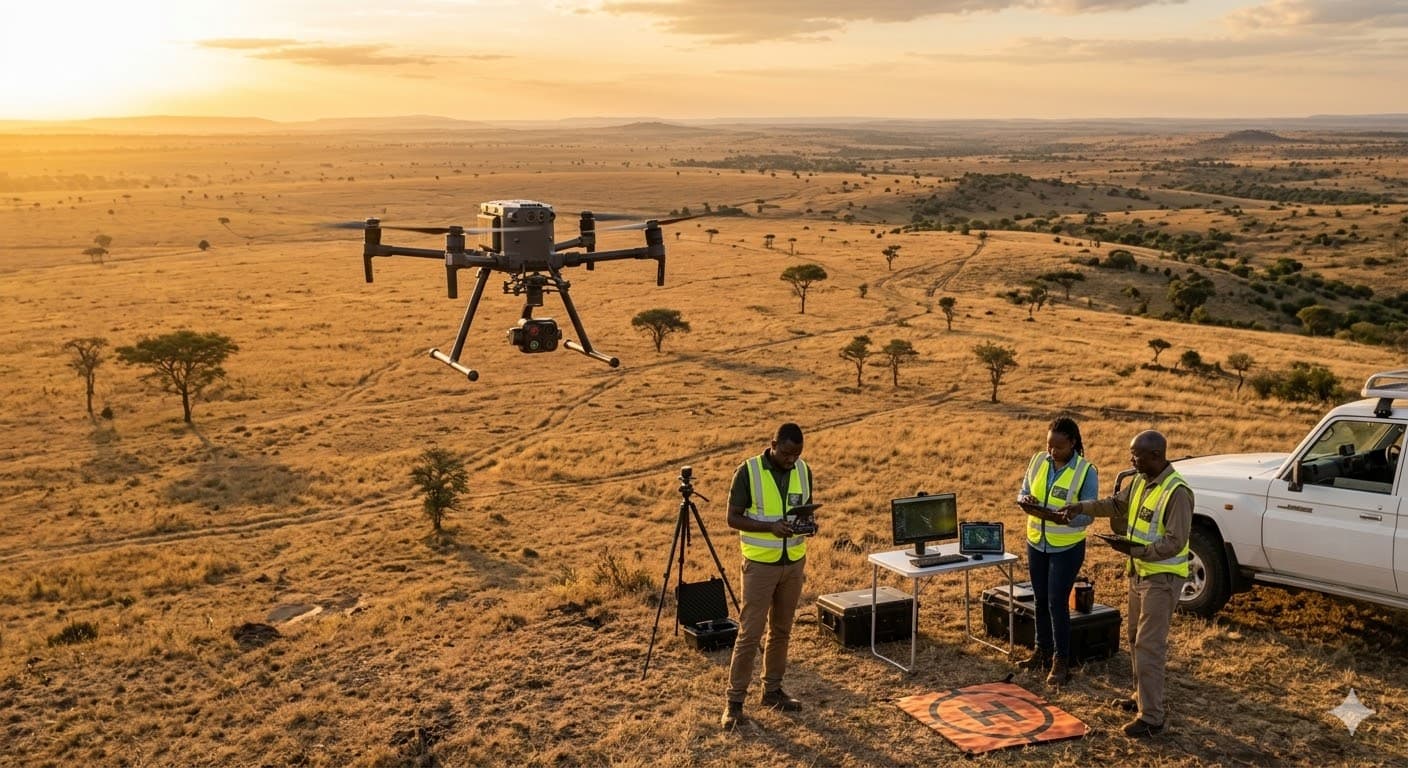
800-Acre Drone Mapping
Maasai Mara

Infrastructure Survey
UN Gigiri Complex
Precision Trusted by Professionals

"Cherith GeoSystems provided exceptional accuracy in our latest infrastructure project. Their topographic surveys and underground mapping were critical for our foundation planning."
Eng. Samuel Kojo
Senior Project Manager, BuildRight Construction

"The level of detail in their GIS analysis and 3D terrain models has transformed our site planning phase. They are truly professional and always deliver on time."
Sarah Mwangi
Lead Architect, Urban Design Studio

"Working with Cherith for our large-scale land subdivision was seamless. Their cadastral survey expertise and handling of government documentation save us months of delays."
James Odhiambo
CEO, Eastlands Real Estate Developers

"Their remote sensing and drone mapping capabilities are top-tier. We've used their insights for several environmental impact assessments with great success."
Dr. Linda Amenya
Environmental Consultant, GreenEarth Africa
Latest Updates & Activities
Explore our recent events, field activities, and the groundbreaking projects currently shaping the future of geospatial engineering.
GPR Precision Survey in Nairobi
Our team recently completed a high-precision Ground Penetrating Radar survey for a major urban utility project, ensuring zero damage to existing infrastructure.

National Surveyor's Conference 2026
Cherith GeoSystems led the discussion on drone mapping ethics and standards during the annual national surveyors' gathering in Kisumu.
GIS Web Portal Masterclass
Training our partners on the new features of the Cherith GIS Web Portal, enabling real-time spatial data analysis for infrastructure planning.
Trusted by Global Leaders & Institutions
Need Accurate Survey Data You Can Trust?
Partner with Cherith GeoSystems for precision, reliability, and expert insights. Transform your physical land data into confident mapping intelligence today.